
Surveying
GIS & Marine Geomatics
Analytics and Hydrography

Matt Savelle
Group Manager, Geomatics
Strum’s GIS and remote sensing team assists with various projects from data inception to delivery. Data analysis, modeling, and visualization in a 2D and 3D environment help our client’s better understand a problem. Using in-house remote sensing techniques we can further engineer data products to cater to clients needs. Remote sensing and GIS allow for capturing, analyzing, and visualizing spatial data. These services provide a comprehensive view of projects and support data-driven decisions.
Strum’s marine geomatics team executes detailed fresh and saltwater benthic and geophysical surveys to provide clients with a better understanding of coastal monitoring, ocean mapping, environmental impacts, marine construction, and transportation planning. Oceanographic monitoring, underwater noise monitoring, and benthic habitat monitoring are a few examples of Strum’s approaches to environmental protection. Marine geomatics is essential for advancing our clients’ understanding of marine environments, ensuring sustainable management of marine resources, and protecting marine biodiversity.
Sample Projects
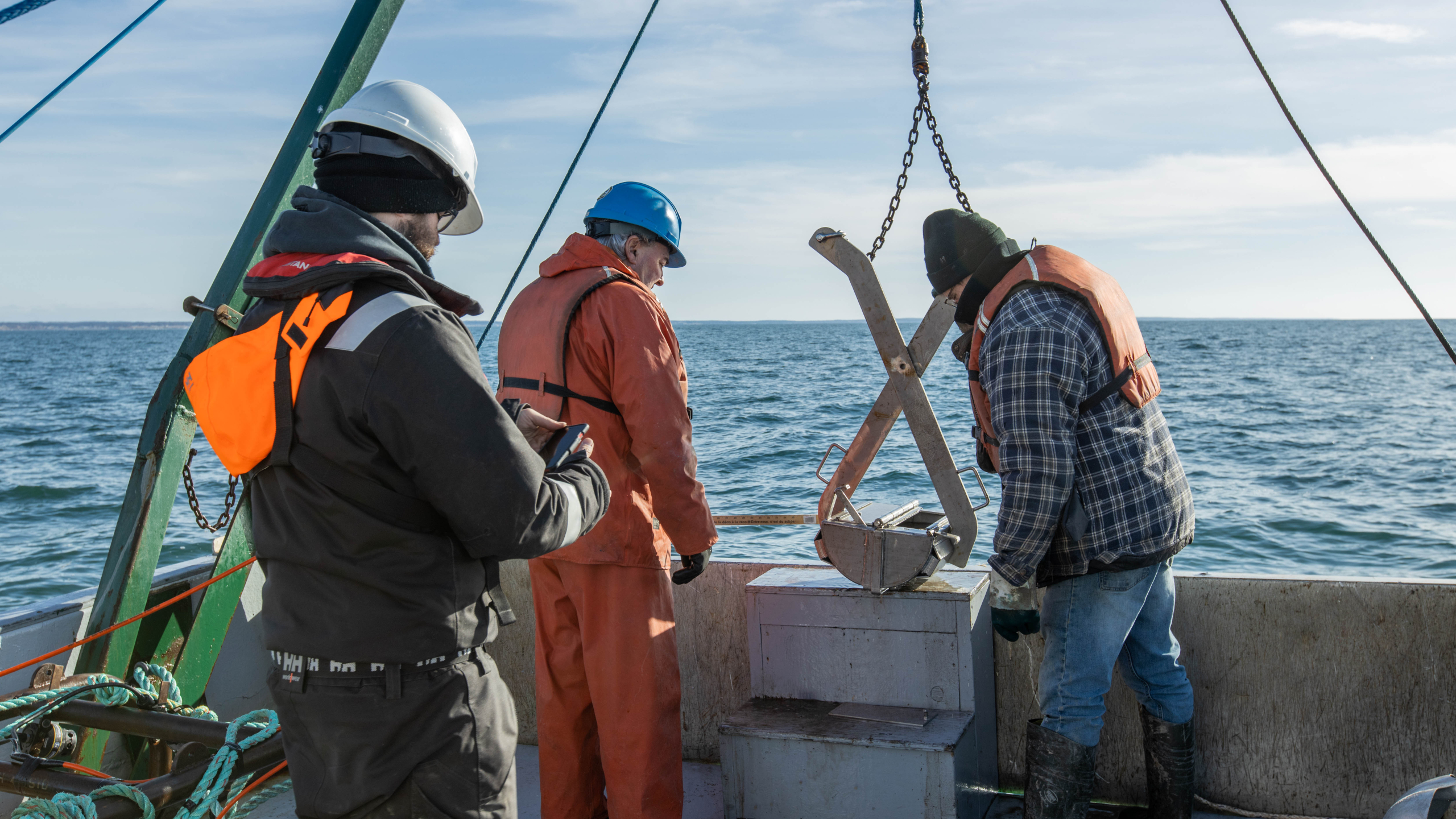
Marine sediment sampling to classify surficial geology and benthic habitats.
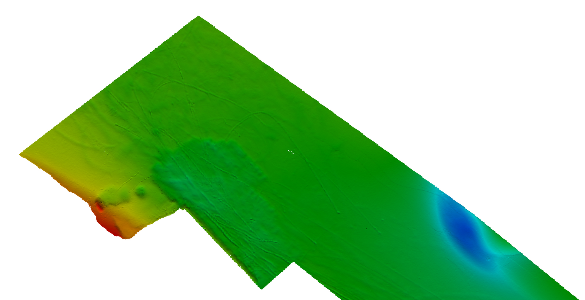
Hydrographic clearance survey for navigation channels and marine development.
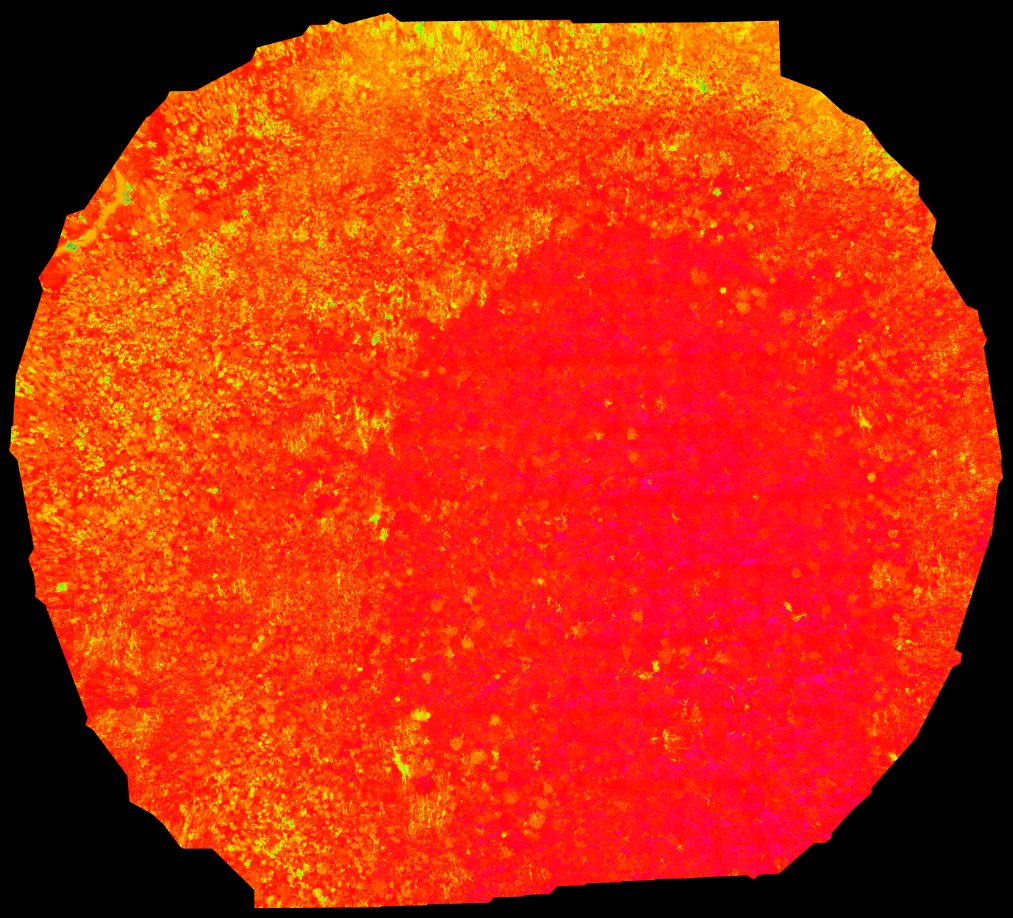
Remote sensing satellite imagery of normalized difference vegetation index (NDVI) helpful for ID’ing vegetation classification and density.
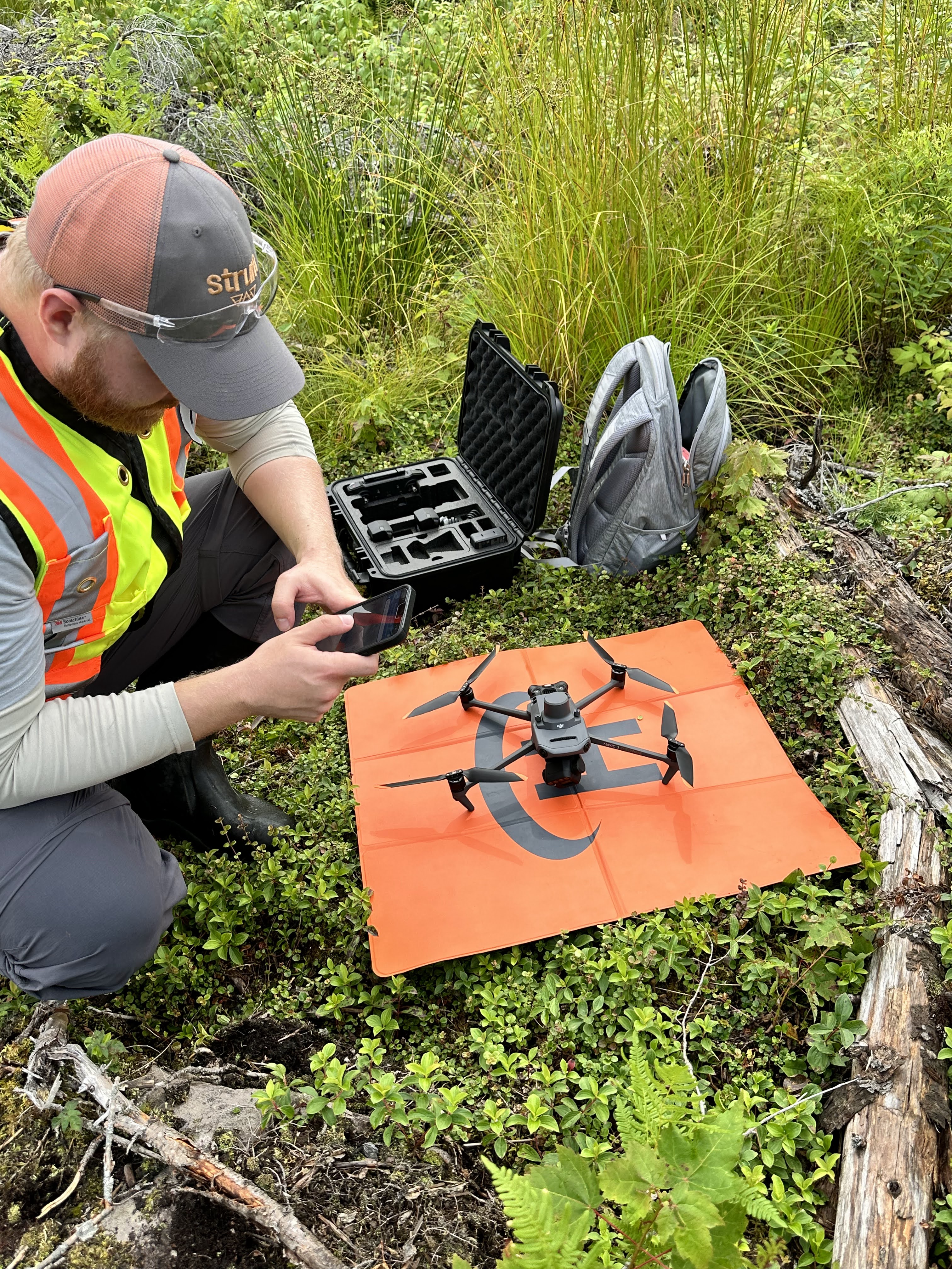
Preparing for a remotely piloted aircraft system (RPAS) to capture photography and multispectral orthomosaics.
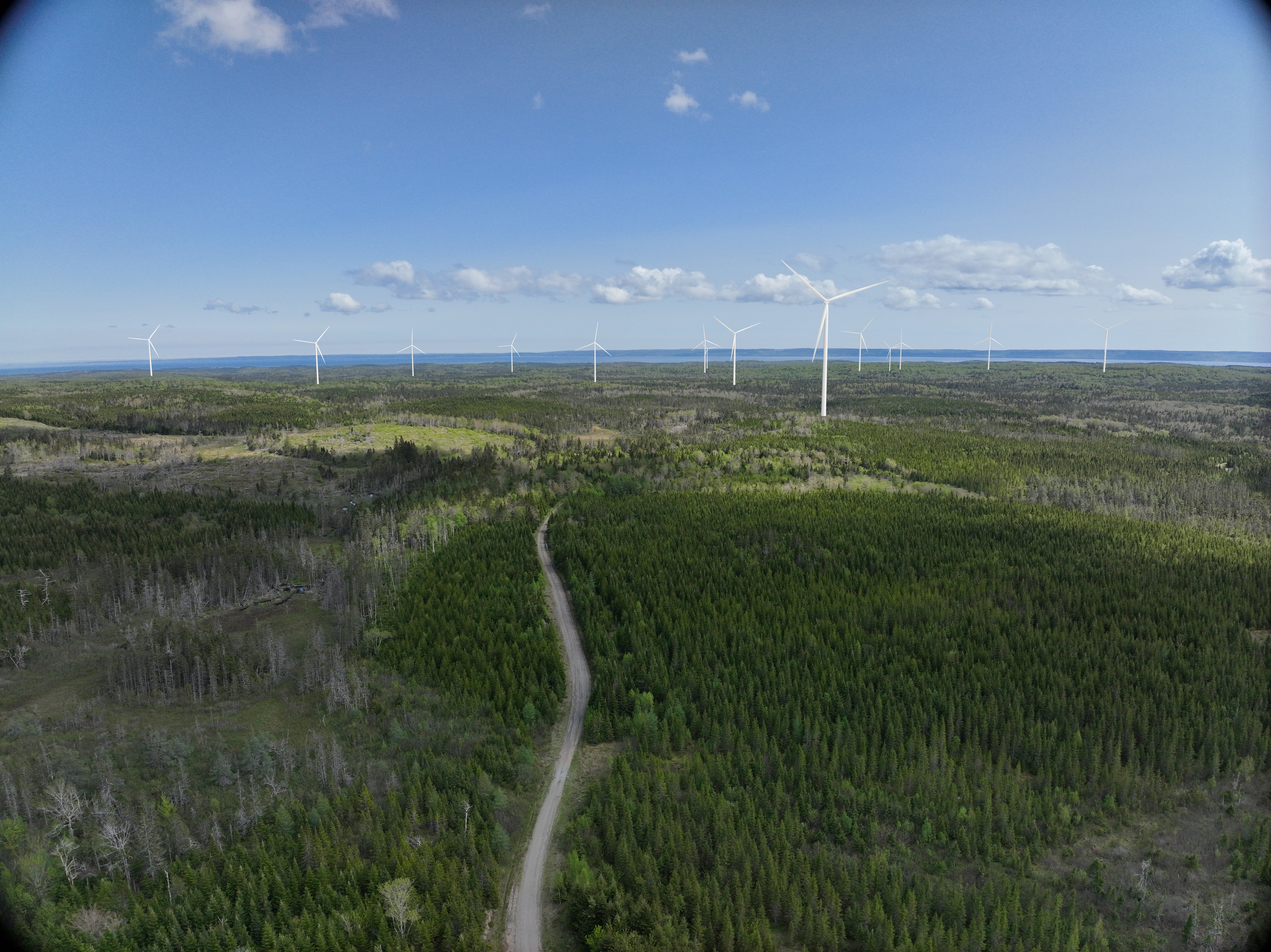
Visual simulation to provide an accurate visualization of a proposed development or infrastructure project before it is built.